
Every year, leaf peepers book their trips around the same rough windows, the same reliable regions, the same dates that worked last time. This fall, that playbook is getting rewritten before the first leaf turns. A stronger-than-usual El Niño is already reshaping the weather patterns that determine when and how vividly the colors show up across the country.
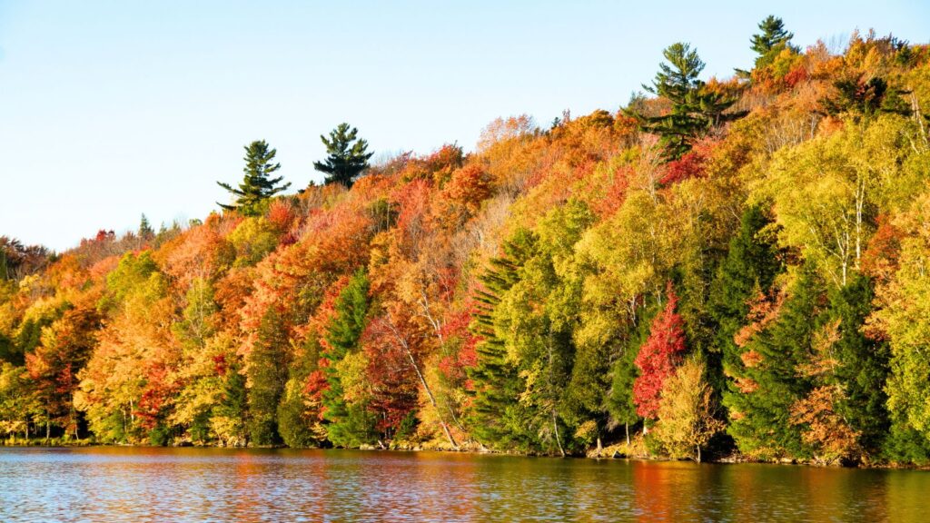
The driver is ocean warming thousands of miles from any forest. When the tropical Pacific runs hotter than usual, it changes moisture levels, delays cold snaps, and keeps humid spells lingering in places they’d normally clear out by now. This year’s event is shaping up to be one of the biggest on record. NOAA’s latest outlook puts the odds at 90% that this fall’s El Niño ranks among the strongest since 1950, with a 69% chance it exceeds every previous event in that record.
New England’s Color Could Arrive in a Rush
Vermont’s Green Mountains are still expected to turn between Oct. 8–12, with New Hampshire’s White Mountains about a week behind and coastal Maine somewhere in between. The catch is that the first real cold snap is expected to arrive later than usual this year, and forecasters don’t expect it to stick around long when it does. If you’ve got fixed dates in early October, the color may still be building. If you can stay flexible into mid-month, your odds get better.
The Great Lakes Could Actually Have a Standout Year
This is the rare good-news region in an otherwise unpredictable forecast. A warmer-than-usual September followed by sunny days and cooler nights could produce brighter fall color across parts of the Great Lakes and Midwest. It’s an unusual setup where the strange weather actually works in a leaf peeper’s favor rather than against them.
The Pacific Northwest May See a Shorter Window This Year
Oregon and Washington normally run the country’s latest foliage calendar, holding color well into October because a mild, wet climate keeps temperatures moderate enough that the cool nights favoring vivid color arrive later than they do further east. El Niño favors warmer, drier conditions across the northern tier this fall, the Pacific Northwest included. If the rain that normally extends the season doesn’t arrive on schedule, that long, slow color fade could shorten noticeably.
The Smokies Are Looking at a Wetter Fall
Great Smoky Mountains National Park is the most visited national park in the country, and its elevation diversity is part of what makes it worth the trip. Color starts near Clingmans Dome in mid- to late September and works its way down to the valley floors by late October or early November.
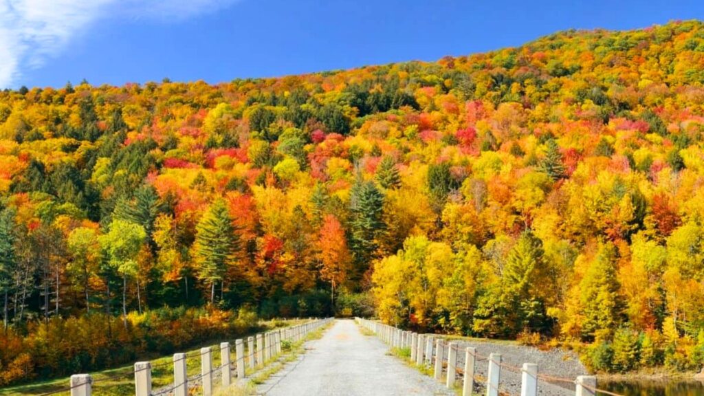
El Niño tends to bring wetter conditions across parts of the Southeast, and cloudy, rainy stretches can reduce the red pigments that make peak color vivid. How much of that rain lands during the actual color-building weeks is still uncertain.
Forecasts Are Getting More Precise, but They’re Still Forecasts
Foliage prediction has come a long way from personal memory and last year’s weather. Newer models combine real-time weather and phenology data to produce regional estimates that have landed within five days of peak color on average. Those windows will keep tightening through September as real-time data replaces historical averages, which is usually when a loose two-week range narrows into something close to an actual date.
Treat Your Booking Date as a Starting Point
The smartest move this fall is holding your dates loosely. Check the regional forecasts again in a few weeks as the windows sharpen. The gap between booking around a fixed date now and adjusting once the picture clears could be the difference between a gray weekend and the kind of color that ends up in next year’s road trip photos. A fall foliage trip is still worth planning. It just might be worth planning twice.